Implemented by the European Commission as part of the Copernicus Programme
Bug-fix release to address issue with GFM observed flood extent and likelihood values
In recent weeks, the GFM algorithm development team has investigated some inconsistent flood classification likelihood values that were spotted for certain Sentinel-1 scenes.
It was discovered that one of the three individual algorithms that are deployed in parallel by the GFM ensemble flood mapping flood algorithm, produced inaccurate likelihood values in cases where the geographic extent of the reference and near real-time images scenes used by that algorithm, differed. This in …
by Richard Davies, floodlist
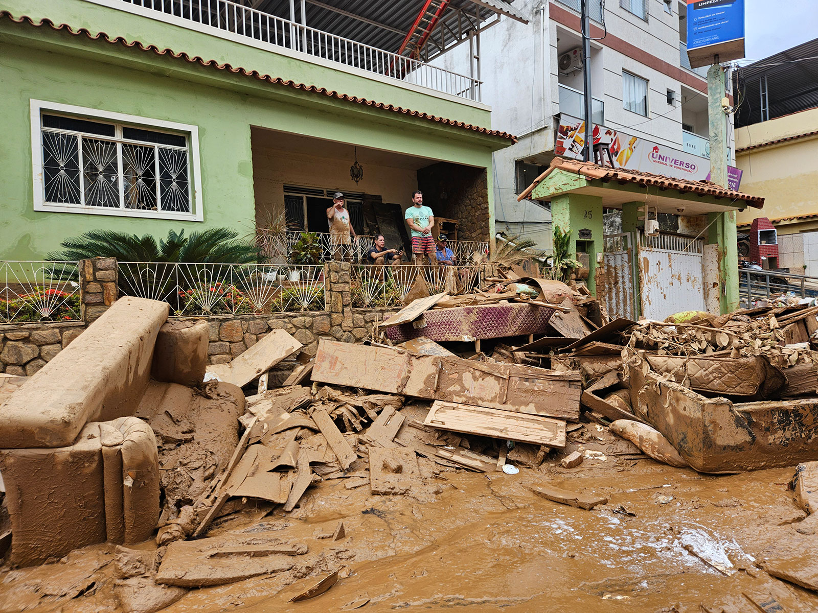
Storms with torrential rain caused widespread flooding and multiple landslides in the neighbouring states of Espírito Santo and Rio de Janeiro in Brazil in late March 2024.
Rio de Janiero State
According to reports from the state government of Rio de Janeiro, the city of Petrópolis recorded 196 mm of rain in 12 hours on 22 March.
The rain continued to fall and as of 25 March, Petrópolis had recorded 366 mm in 72 hours. Teresópolis recorded 306 …
Annual Meeting Summary
The 3rd CEMS Global Flood Forecasting and Monitoring Annual Meeting (online) gathered almost 200 participants and it featured presentations about recent developments to CEMS GloFAS and GFM products, 3 keynotes on the potential that GloFAS and GFM products have in large scale projects, 10 ignite talks about applications of GloFAS and GFM products and data.
The summary of the event and all the presentations and posters are available from this page: GloFAS and GFM events.
The CEMS GloFAS and GFM teams …

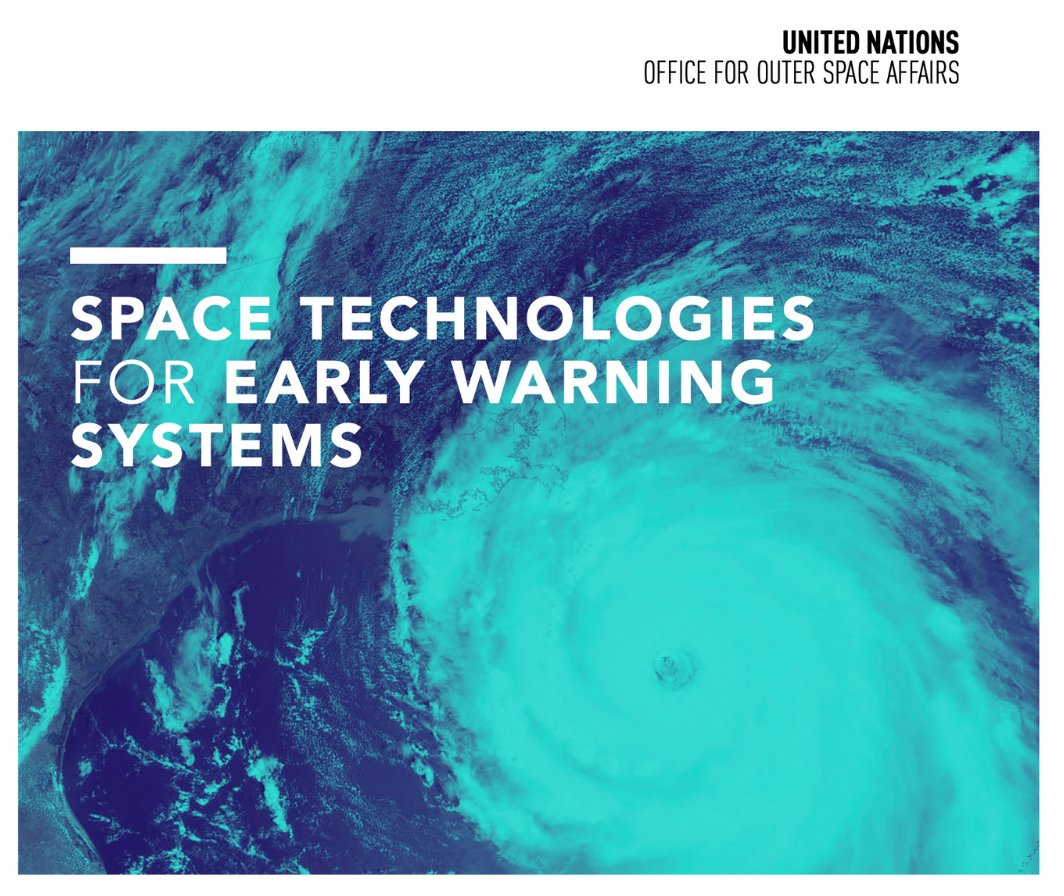
The United Nations Office for Outer Space Affairs has released a new report highlighting the ways in which space technologies are improving early warning systems to further advance disaster preparedness. The Global Flood Awareness System (GloFAS) and the Global Drought Observatory (GDO) of the Copernicus Emergency Management Service are among the key tools highlighted in the report.
The report, titled "Space Technologies for Early Warning Systems" , features more than 80 case studies provided by experts, industry, and governments, showcasing the impact of space-based information on disaster management and emergency response.
GloFAS …
by Richard Davies, floodlist
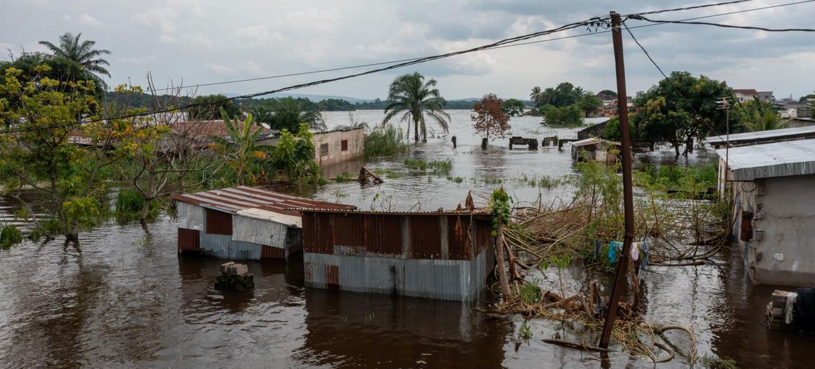
Flooding along the Acre River in South America caused widespread damages and displacement in riverside communities in Peru, Brazil and Bolivia in February 2024.
Image 1: Floods in Cobija, Bolivia, February 2024. Credit: Gobierno Autónomo Municipal de Cobija
The Instituto Nacional de Defensa Civil (INDECI) in Peru reported flooding in Madre de Dios Department from 21 February 2024 after the overflow of several rivers, in particular the Acre in the district of Iñapari in the province of Tahuamanu.

Image 2: Floods in Cobija, …
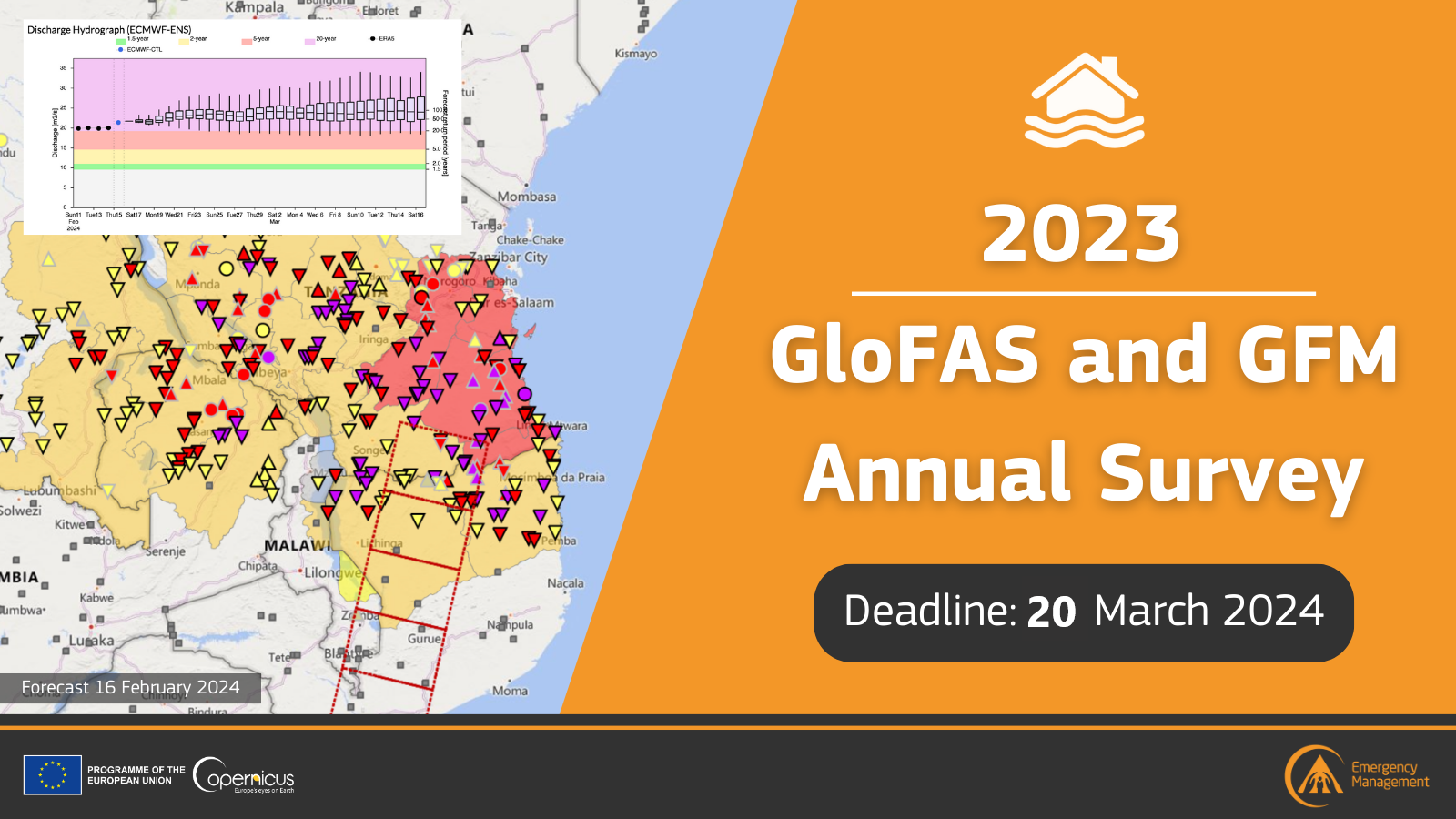
Would you like to help identify needs for improvement to GloFAS and GFM? Please fill the GloFAS and GFM Annual Survey by March 20th (5pm UTC), 2024.
This survey will allow you to share your feedback and provide suggestions about GloFAS and/or GFM service and products. The questionnaire should take approximately 10-15 minutes to complete.
Are you curious to know the results of the previous surveys (reference years 2022 and 2021), and the corresponding follow-up actions? The reports are available here.
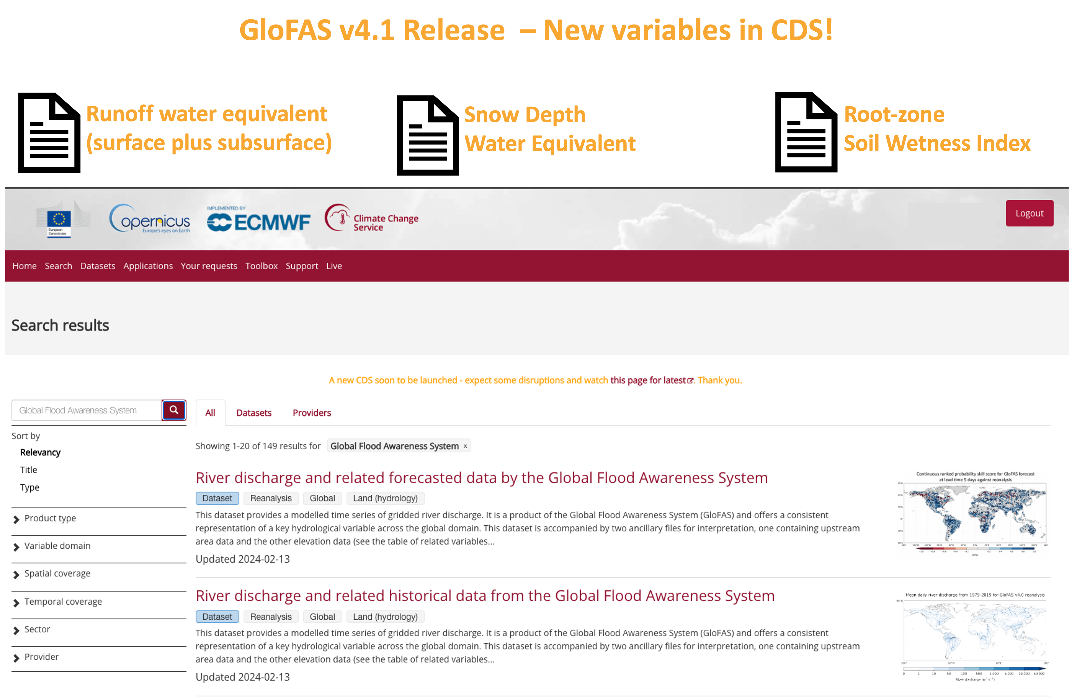
GloFAS v4.1
A minor release of the Copernicus Emergency Management Service (CEMS) Global Flood Awareness System (GloFAS), version 4.1, has been launched operationally on Wednesday 28 February 2024.
GloFAS version 4.1 introduces several minor changes to the system, including:

GloFAS v4.1 operational release
A minor release of the Copernicus Emergency Management Service (CEMS) Global Flood Awareness System (GloFAS), version 4.1, will be launched operationally on Wednesday 28 February 2024.
GloFAS version 4.1 introduces several minor changes to the system, including:
by Richard Davies, floodlist
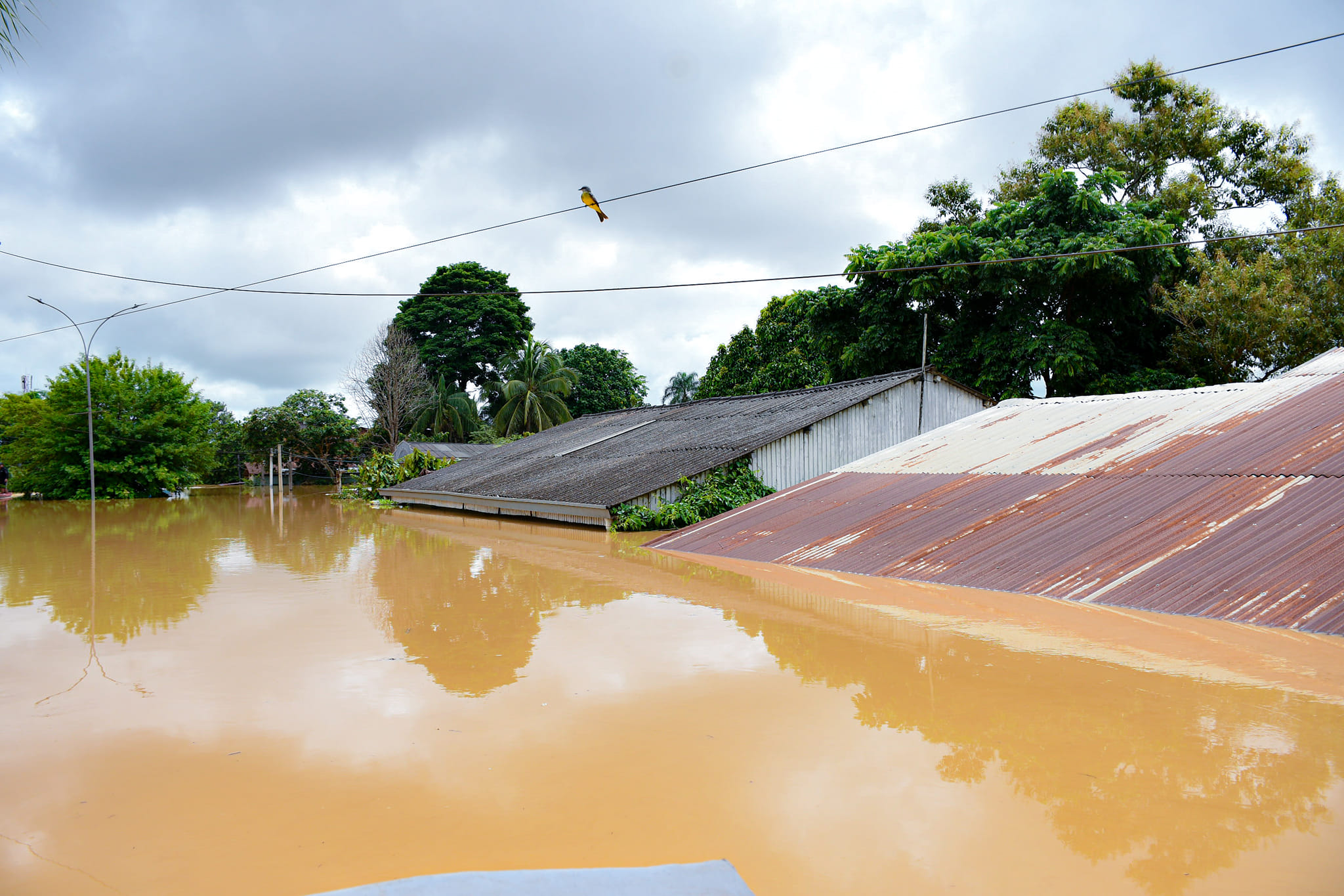
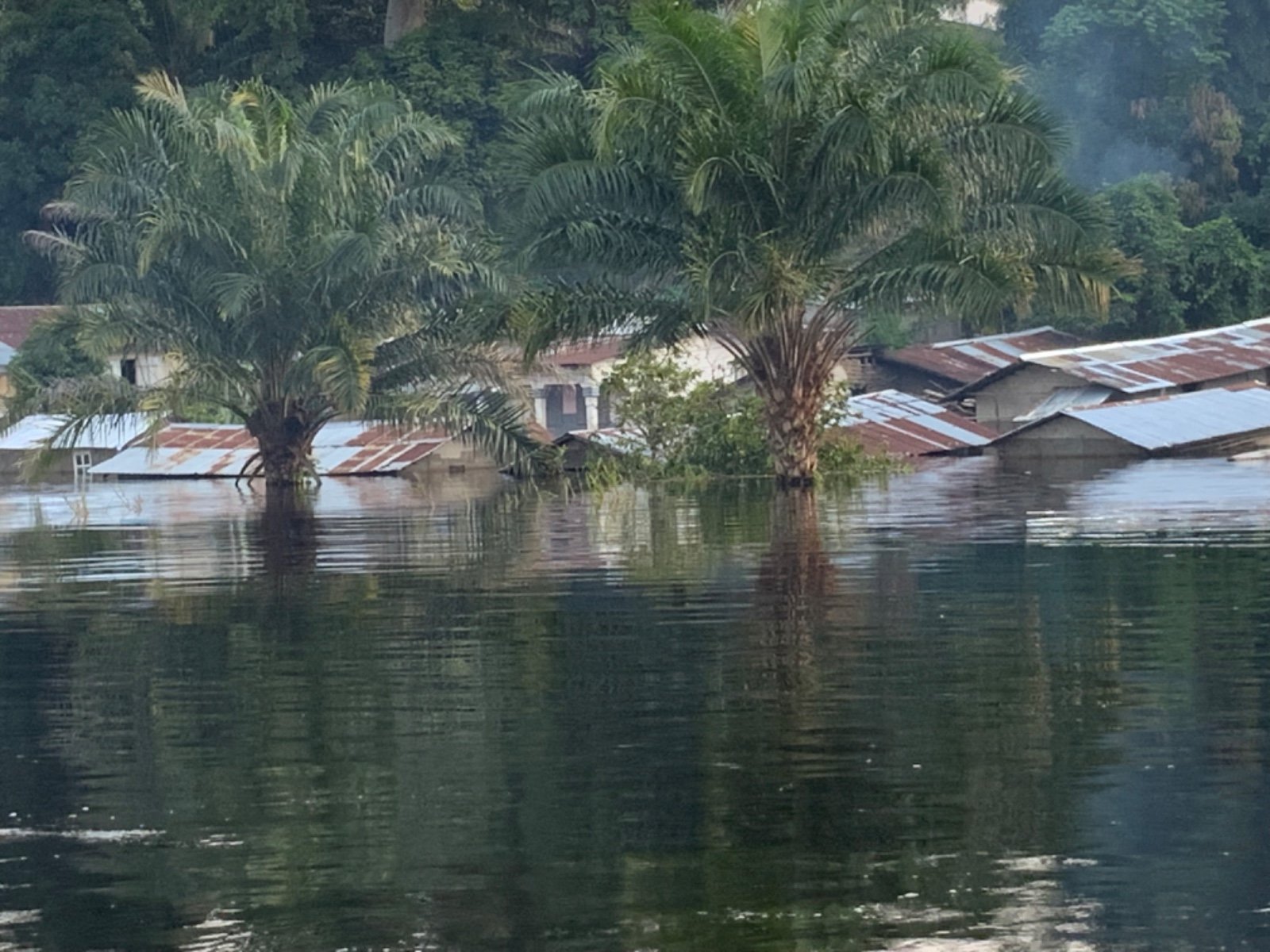
Thousands of people were affected by flooding in the countries of the Democratic Republic of the Congo (also known as DR Congo) and Congo-Brazzaville (also known as The Republic of Congo) during January 2024.
The World Meteorological Organization said extreme rainfall since October 2023 caused the worst flooding in the Congo Basin in nearly six decades.
The government of Congo-Brazzaville reported twice the normal amount of rainfall over …
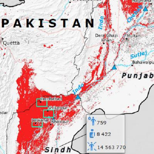
The output datasets generated by the Global Flood Monitoring (GFM) product of the Copernicus Emergency Management Service during the massive 2022 Pakistan floods, have been included in the Use Cases Catalogue of Destination Earth (DestinE). DestinE is a major initiative of the European Commission to develop a highly accurate digital model of the Earth on a global scale, to be utilized to monitor, simulate and predict the interaction between natural phenomena and human activities. Specifically, the GFM Observed Flood Extent data that were produced during the 2022 Pakistan floods are now made available in the Destination Earth …
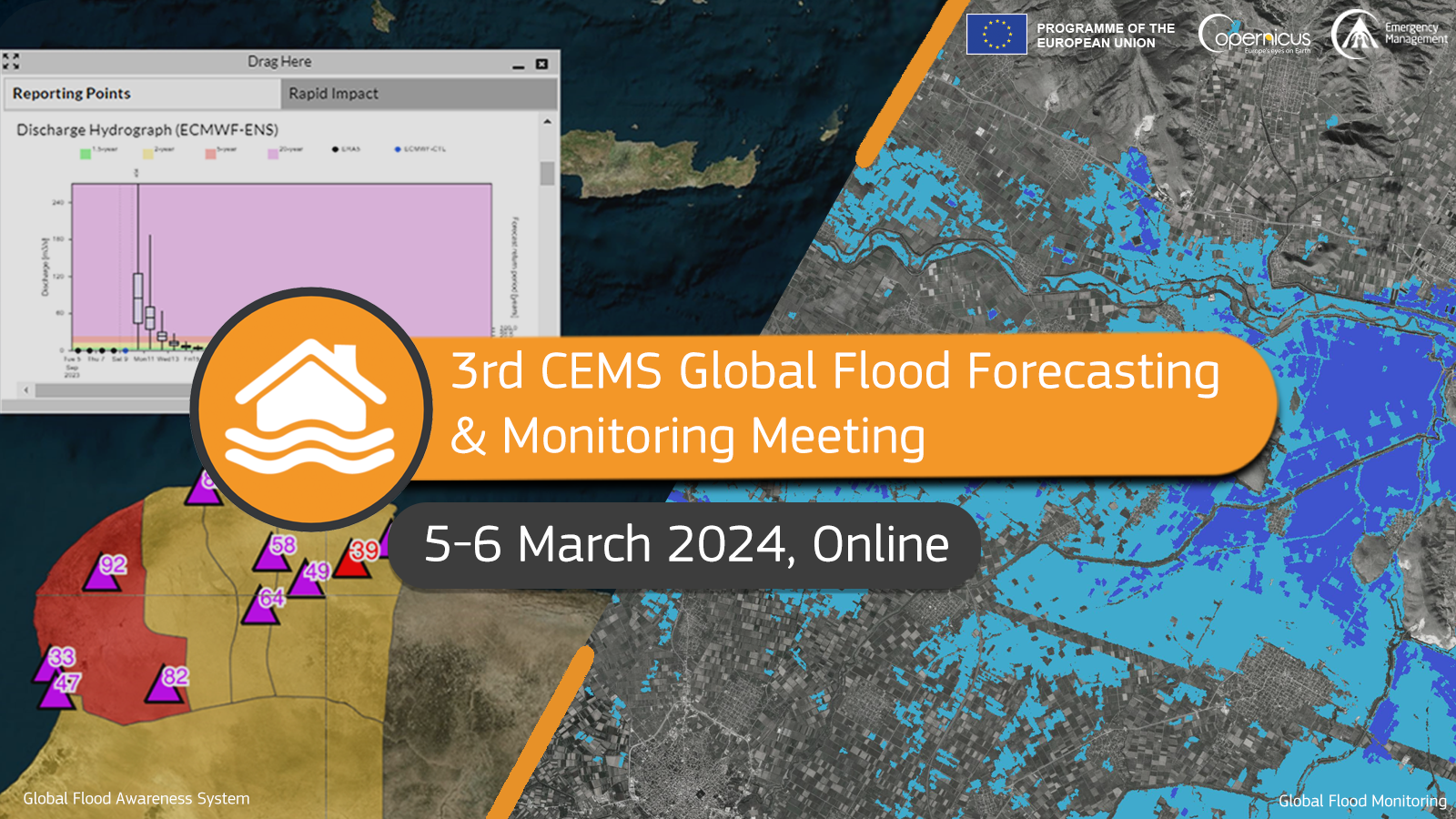
Join the 3rd Copernicus Emergency Service (CEMS) Global Flood Forecasting and Monitoring Annual Meeting to learn about the most recent advances and developments to the CEMS Global Flood Awareness System (GloFAS) and to the CEMS Global Flood Monitoring (GFM) products and data.
The annual meeting will be hosted online on 05 and 06 March 2024, from 13:00 to 16:30 (UTC) during both days of the event.
The format of the meeting will be highly interactive, including ignite and keynote talks from GloFAS and GFM users, a poster session, and an open space for lively conversations. Participants will have the opportunity to connect with people from the GloFAS and GFM communities to discuss their work and expand their network.
The preliminary agenda is …